
Map of the Provinces, with the Regional division: Red - Far West, Orange - Center-West, Yellow - Center, Blue - District, Green - East
The last definition of the provinces of Concepcion was in the article 74 of the 1994 Constitution, when there was the division of the Dolores and Maré provinces.
Provinces[]
| Flag | Province | Capital | Abbreviation |
|---|---|---|---|
 |
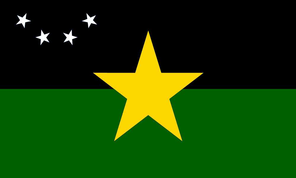
Abelardina | Santo Augusto | AB |
 |
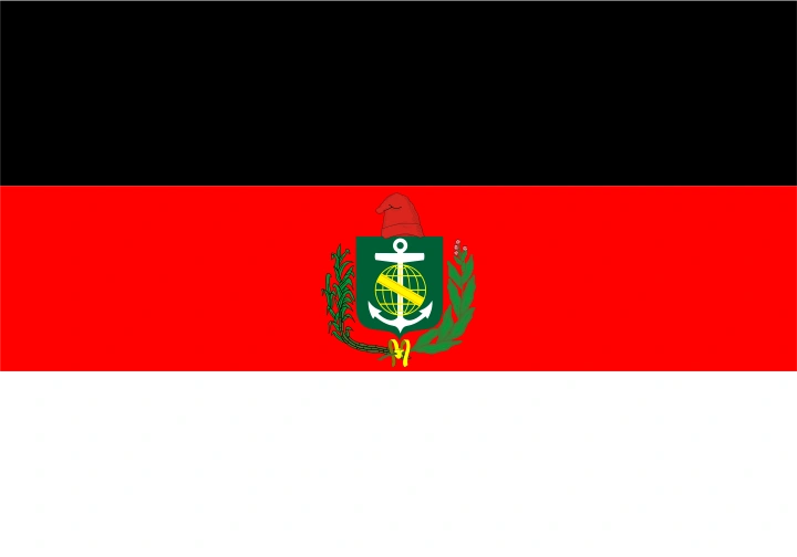
Andes | Cidade do Atacama (OTL Iquique) | AN |
 |
Baixo Chaco | Marechal Lopes (OTL Formosa) | BC |
 |
Charruás | Santa Valéria | CH |
 |
Coríntios | Sócrates | CT |
 |
Guarany | Baptista (OTL Reconquista) | GY |
 |
Jaguaryuna | São Jorge | JG |
 |
Maré | Santa Cecília (OTL Bahía Blanca) | MR |
 |
Mesopotâmia | Paraná | MP |
 |
Nortumbria | Gardel de Menezes | NT (DN) |
 |
Rosa Fidalgo | Barretos | RF |
 |
Distrito Autônomo de Santo Antônio | Santo Antônio | SA |
 |
Santa Maria | Porto das Virgens (OTL Buenos Aires) | SM (DL) |
 |
Santiago | Santiago dos Andes (OTL Santiago de Chile) | ST |
 |
Tucumã | São José (OTL San Miguel de Tucumán) | TC |